volunteer
Volunteer Highlights
2023
1st Quarter - Dillion Tiller
Dillion Tiller became interested in making maps, during a Structural Geology course while getting his undergraduate in Geoscience at Tarleton State University. After university he began working for Roome Land Surveying in Plano, TX as an Instrument Man and then a Party Chief and fell even more in love with the techniques of capturing geospatial data. Dillion then moved on to work as a Geospatial Data Analyst for Firmatek, creating maps and reports for the mining industry and taught himself how to code so that he could utilize more GIS tools and develop new ones. Dillion ended up switching departments at Firmatek and now works as a Geospatial Developer creating GIS software for a number of different industries. When he's not working or spending time with his family, Dillion is usually volunteering as a Texas Master Naturalist where he helps out on projects for wildlife habitat restoration and forest reconstruction.
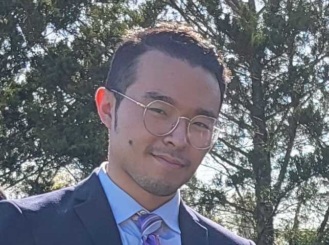
2nd Quarter - Katsuhiko “Kirk” Oda
Kirk Oda joined the Educational Outreach Program in 2022 to help URISA Texas build its capacity for partnerships with colleges and universities in Texas. Through volunteering for the organization, he hopes more GIS professionals and educators will work hand in hand to prepare students for success in the GIS industry. As for his academic and professional backgrounds, Kirk studied GIS and geography in Bachelor's, Master's, and Ph.D. programs in Japan, Ohio, and Texas because he has liked maps and traveling since childhood. Plus, he worked as a GIS analyst and a GIS research assistant at a mapping company in Tokyo and Texas A&M University, respectively. Then, after he taught GIS at the University of Southern California for more than nine years, he began serving Tarrant County College in 2021 as an associate professor and a GIS program coordinator. Kirk aspires to develop and provide students with more pathways from K-12 schools to the workforce via higher-educational institutions.
2022
1st Quarter - Amy Cleare
Amy Cleare has been a passionate GIS professional for 17 years. She studied Geography, with a GIS certificate, and a minor in Ocean Earth and Atmospheric Sciences and graduated with a Bachelors of Science from Old Dominion University in Norfolk, Virginia in 2007. Since then she has had the opportunity to work in many industries applying geographic principles. From parcel maintenance to UAS/aerial collection, the challenges of new technology never end so the opportunities that URISA offers to connect and learn are appreciated. “When you love what you do for a living, it makes the days and projects fly by!” When she's not designing and configuring geospatial web applications, she enjoys walking the trails, going to the beach, or fishing with her family and dog in Clear Lake, Texas, a SE suburb of Houston.
2nd Quarter - Richard Ra
Richard Ra is the GIS Technician and interim GIS Department lead for the City of Richardson, a community of 100,000+ residents situated in a split between Dallas and Collin County. In 2018, he received his BA in Criminology from the University of Texas at Dallas and began his career in GIS through contract work at a natural gas utility company where he mapped numerous pipelines throughout the states of Texas and Kansas. In early 2022, he started volunteering for URISA Texas and has, since then, been creating all events in the URISA Texas website.
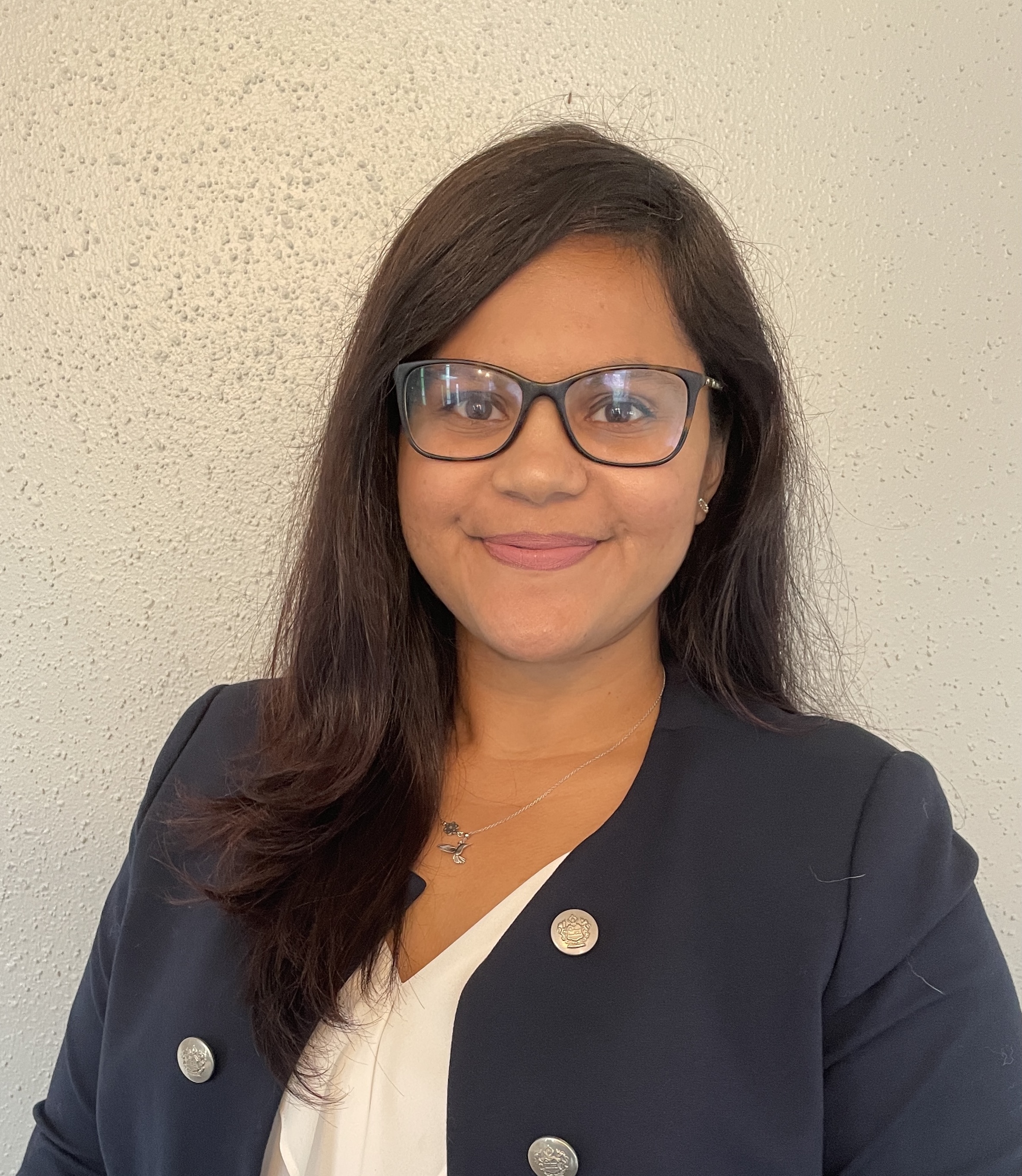
3rd Quarter - Samantha Dinning
Samantha Dinning joined URISA Texas in 2021 while she was working at City of Carrollton as a GIS Analyst. Since then she has helped to take lead on the Educational Outreach program which helps connect geography and GIS programs at universities and colleges to URISA TX. These relationships help students connect with URISA and career opportunities, in addition to helping URISA TX know what kinds of events to have and communications to send out to target our student audience. Students are more than welcome to begin volunteering with URISA TX as well. The relationships with schools benefit both students and URISA. She unfortunately has left our wonderful state of Texas, but she continues to help URISA TX Outreach program (from Douglas County, Colorado) and hopefully start connecting students with networking programs in my new area as well! We are very lucky to have her and her continued support to URISA Texas.
4th Quarter - Shama Sheth
Shama was introduced to GIS in her undergraduate program from McMaster University. She took some time to warm up to it, as she pursued her masters in Labour Studies and then decided to a post-graduate certification in GIS from Fleming College. She remembers a conversation with the IT personnel who was helping her set up her licenses, he was describing the program and had mentioned “You are going to learn about Python” and she said “Ohhh, this is cool, learning about the geography of snakes. That’s an interesting take”. The IT personnel quickly laughed and said “Nice one, but it’s a programming language.” She replied “well I am in it for the long haul so this will be interesting”. She fell in love with the program and all her courses that led her to her first real job in the marketing/printing world. Her diverse experience of 5 years includes working in the government, energy, and the transportation industry. She loves making web mapping applications and dashboards. Currently, she is a GIS Technical Lead for EXP and events co-chair with URISA. Her goal is to bring the Houston GIS community together to discuss mappy ideas.
2021
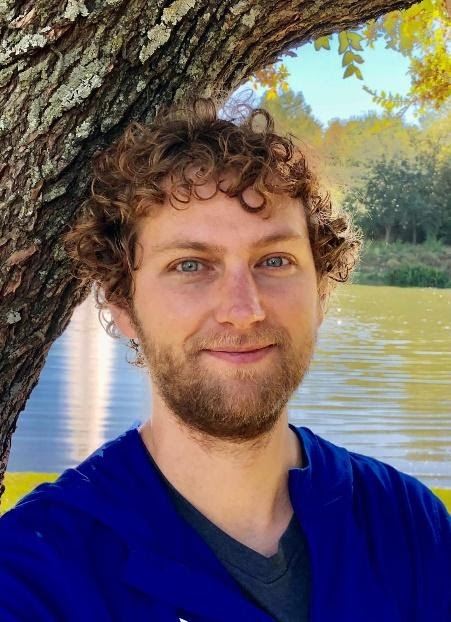
1st Quarter - Patrick Mason
Patrick has a BS from Texas A&M in Geology and a MS in GIS from University of Denver. His Master's project focused on GIS improvements for the city’s irrigation system as a pilot project using two city facilities. ArcGIS mapping tools and statistical modeling were used to evaluate irrigation coverage, efficiency, and considerations for irrigation programming. He worked as a microseismic geophysicist at Halliburton over 3 1/2 years in Houston out of college. He had taken a GIS course at Texas A&M, liked it, and continued on to get GIS analyst training at Austin Community College. After working at the cities of Austin and College Station in geospatial and GIS-related positions, he completed a software certification (JavaScript, PostgreSQL, MongoDB and React.js) in Austin. In his off time, he plays lead guitar in a band with his brother in Austin, running and kayaking.
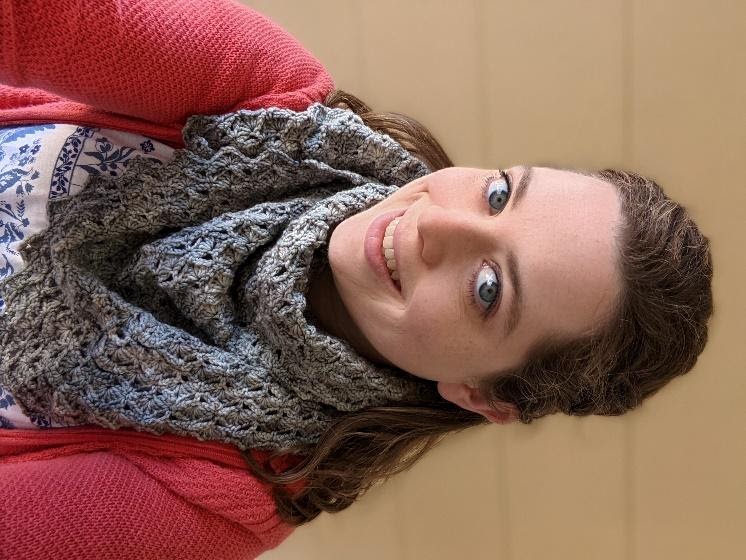
2nd Quarter - Devon Bennet
Data Acquisition Lead at HERE Technologies, based in Dallas Texas. She works to keep the HERE basemap up to date in the Central US, which in turn improves things like navigation, package delivery, and 911 emergency access. Devon is originally from Colorado and is a graduate of the University of Denver with a BA in Anthropology and Geography. Her personal geographical interests include sustainable cities, access to public transit, and walkable urban spaces. In her spare time, she enjoys Dallas arts and culture, cooking, and participating in local markets selling her crocheted creations.
3rd Quarter - Courtney Roe
Courtney has been a member of the GIS, CAD, and Survey community since 2013, with her roots in these fields going back to her academic experience at Texas State University and Austin Community College. Courtney is currently employed at Pape-Dawson Engineers as a Civil CAD Designer in Land Development and is a GISP, Autodesk Civil 3D Certified Professional, and FAA Remote UAS Pilot. She enjoys being on the Board of Supporting Women in Geography & GIS (SWIGGIS) and is always engaged in the GIS and CAD community. As a curator of knowledge, Courtney brings an enthusiasm and passion for the integration of Civil CAD, Surveying and GIS to maximize the potential of the industry. “Embrace it, we never stop learning!”
4th Quarter - Nicholas Willette
Nicholas entered the world of GIS as a GIS Analyst in the U.S. Marine Corps. After leaving active duty he moved into surveying, first as an Instrument-man and later a Survey Party Chief, working on projects all over Texas as well as projects overseas. At the same time, he attended the University of North Texas, obtaining a Bachelor’s degree in Applied Arts and Science in 2019 and a Master of Science in Information Science in 2021. Nicholas currently works as an IT Programmer/Analyst in the City of Fort Worth Water Department GIS group, and is responsible for maintaining and updating the City’s water and sewer utilities in GIS. Nicholas believes that education never stops, and strives to learn new skills and technologies and encourages others to do the same.
.jpg)